
Compare Winston-Salem ZIP Coverage
The ZIPs below are supported mailing or service designations associated with Winston-Salem materials. The coverage language is intentionally narrow: it describes a mailing, Census, or service relationship, not a claim that a ZIP belongs only to the city or to a particular neighborhood. USPS controls the delivery answer for a complete address.
| ZIP | Supported coverage description | Post office-service note | Research caution |
|---|---|---|---|
| 27012 | Census ZCTA partly within the Winston-Salem profile | Validate delivery geography by address | Not a city-only ZIP |
| 27040 | Census ZCTA partly within the city profile and on the SDC service list | Winston Salem SDC service list | Confirm municipality and address |
| 27101 | Winston-Salem mailing designation with city/ZCTA overlap | Center City Post Office sample; SDC service list | Mailing ZIP is not a city boundary |
| 27105 | Winston-Salem mailing designation with city/ZCTA overlap | Winston Salem SDC facility ZIP | Facility ZIP is not neighborhood proof |
| 27106 | Winston-Salem mailing designation with city/ZCTA overlap | Station or route requires address lookup | Historical 27109 relationship can matter |
| 27199 | Winston-Salem mailing or service designation | Winston Salem SDC service list | May be unique or institutional; validate it |
Other observed Winston-Salem designations include 27102, 27103, 27104, 27107, 27108, 27109, 27110, 27111, 27113 through 27117, 27127, 27130, 27150, 27152, 27155, 27157, 27160, and 27198. Some are PO Box, institutional, unique, or operational designations rather than ordinary delivery areas.
Validate Winston-Salem ZIP Codes
The USPS postal lookup is the delivery validator. It offers By Address, By City and State, and Cities by ZIP modes. For a known address, enter the street address and then supply the locality information requested by the live form. A result can provide the recommended city and postal ZIP format, but USPS says it does not confirm that a person or company is associated with the address.
| USPS mode or field | Required status | Use in a ZIP search |
|---|---|---|
| By Address, Street Address | Required | Checks a known delivery address |
| Company | Optional | Additional delivery detail only |
| Apt/Suite/Other | Optional | Refines the address where applicable |
| City and State | Required for city/state mode | Finds ZIP information for the locality pair |
| Cities by ZIP | ZIP required | Returns postal city information for a code |
Use the Clear or reset control before testing a different form. Postal validation resolves mail delivery, while the county parcel tools resolve official address and parcel context. They complement each other and should not be substituted for one another.
The USPS lookup displays the three search modes used for delivery research.
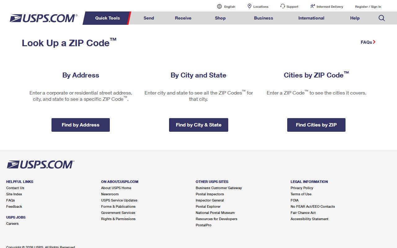
The controls are designed to verify postal information. They do not establish a connection between a person and an address.
Map Winston-Salem ZIP Geography
Forsyth's ZIP polygon service is a useful local map layer. It delineates ZIP areas within the county, making it a practical way to compare a broad local geography with parcel or address results. It is not USPS delivery authority, and it does not turn a ZIP polygon into a city-limit line. For population or statistical geography, Census ZCTAs are another layer with a different purpose.
The distinction matters in a Winston-Salem ZIP code directory. Census reported the city with 249,545 people and roughly 132.6 square miles of land in 2020, while its tabulations showed several ZCTAs fully or partly within the city profile. A ZCTA is a Census approximation of a ZIP area, not a postal delivery boundary. Keep the source and geographic purpose with every map observation.
The official Forsyth ZIP polygon service supplies the county map layer used for local geographic comparison.
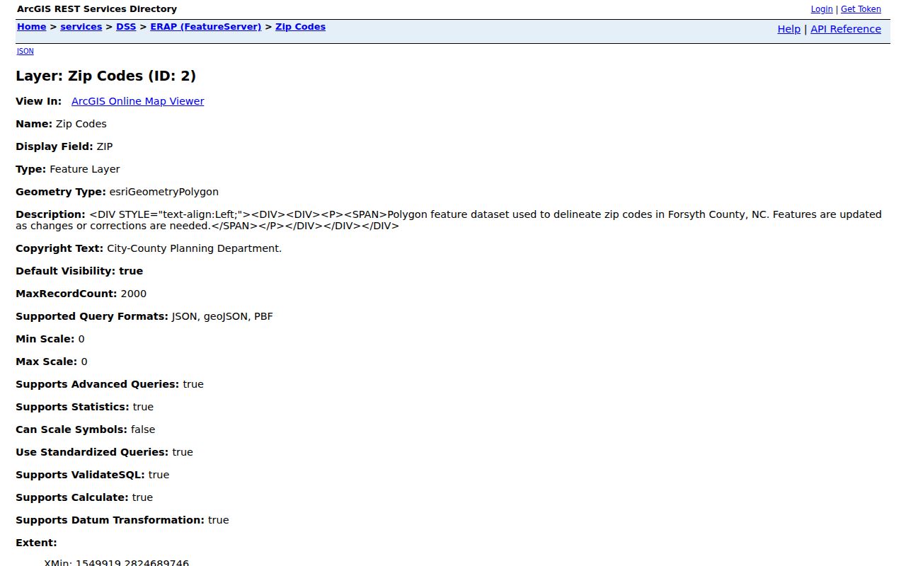
The polygon layer supports a county map view. Validate a specific delivery address with USPS rather than relying on its boundary alone.
Search Winston-Salem by ZIP Code
A ZIP can narrow an address question, but the observed Forsyth property form does not expose a ZIP filter. Its search modes are Name, Bill Number, Company, Parcel, and Address. MapForsyth instead searches owner, parcel, REID, official address, block and lot, and drawn shapes. A ZIP-wide result therefore needs a local map layer, an address result set, or a lawful requested dataset, followed by address validation.
- Validate the complete address and ZIP through USPS, recording the delivery result and date.
- Use the Forsyth ZIP polygon layer to understand the local map area without treating it as a delivery decision.
- Search the known official address in the Forsyth Tax Property Search or MapForsyth for parcel and tax context.
- When election data is relevant, use the name-based NCSBE voter lookup or ask the Board of Elections about a lawful written-request route and allowed fields.
- Once a ZIP result narrows to a particular address, use the Winston-Salem street directory for the address-to-parcel and recorded-instrument workflow.
The sequence avoids a common error: treating a postal code as a search field where the official system does not offer one. It also keeps a ZIP research result from becoming an unsupported statement about a person.
Use Winston-Salem ZIP Records Carefully
Tax and parcel systems contribute official address, parcel, owner or taxpayer, and assessment context. They are not a simple ZIP-wide directory. A map search can browse official addresses inside a selected area, yet it must be checked one parcel at a time and its displayed owner is an assessment snapshot. The Register of Deeds can then provide recorded transfer and legal-description context for a selected parcel.
Voter information has its own rules. The ordinary lookup requires first and last name, with optional middle initial, year of birth, and county plus a selected status. A county board can provide statutory voter lists on request, and the statewide file has a written-request route. Those records exclude confidential identifiers and can contain protected addresses. Request only the permitted, necessary fields and do not use a missing or dated result as proof of a person's location.
Note: A ZIP is useful geographic context, but no official source reviewed supports a ZIP-wide list of Winston-Salem residents from the property or map interfaces alone.
Confirm Winston-Salem ZIP Addresses
For an address that is disputed, new, or difficult to match, separate the questions in order. Forsyth's Tax Parcel Viewer and Master Address Repository are the documented official address-validation layers found for the county. City Planning, GIS, and City-County Inspections can add municipal context. USPS then answers the delivery question. No reviewed source identified a separate public E911 readdressing portal, so it is better to ask the county tax or GIS office and applicable municipality than to infer an answer from a map label.
Start with the source's original address spelling. Then test a normalized form with house number, street name, type, directional, unit, city, state, and ZIP. Preserve whether the result is official or situs, mailing, postal, parcel-centroid, or historical. These labels are not interchangeable. A city recommendation from USPS does not prove municipal jurisdiction, and a county map marker does not create a delivery address.
Classify Winston-Salem Postal ZIPs
The local 271xx set is not one uniform type of geography. Research identifies ordinary mailing designations alongside PO Box, institutional, unique, and service uses. A code such as 27198 or 27199 may have a specialized role, which is why a complete address and USPS result are needed before describing the delivery arrangement. The county ZIP layer can show a local polygon, but it cannot identify the postal category for every address inside it.
Carrier routes make the same point at a smaller scale. They organize delivery within a postal geography and are not neighborhood boundaries or directories of people. When a record gives only a ZIP, treat it as a useful search and validation lead. Pair it with an official address, parcel, record date, and source-specific label before making a local geographic statement.
Locate Winston-Salem ZIP Service
The Winston Salem Sorting and Delivery Center bulletin identifies the facility at 1500 N Patterson Ave, Winston-Salem, NC 27105. Its published service list includes 27040, 27045, 27101, 27102, 27105, 27108, 27110, 27111, 27115, 27150, 27152, 27155, 27157, and 27199, among others. This is an operational service list, not a list of city neighborhoods, addresses, or people.
For a current office detail, the USPS Center City Post Office listing is a local sample for 200 Town Run Lane, Winston-Salem, NC 27101-9998. It listed a phone number and weekday hours in the research record, but live postal details can change. Use the current USPS listing before planning a visit or relying on a service description.
Trace Historic Winston-Salem ZIPs
Old correspondence should be read in its own time. A historical postal bulletin documented a 2006 change involving 27109 and 27106, while older material can use a postal designation that differs from the current delivery result. Preserve the ZIP and post-office name printed on the document first. Then check a present USPS result separately instead of rewriting the historical record to match a modern map.
The USPS post-office finder accepts the first three digits of a From ZIP and To ZIP. Its historic and discontinued-post-office context can help with old correspondence, but it is not a current address or resident match.
Separate Winston-Salem ZIP Boundaries
Winston-Salem city limits, USPS delivery ZIPs, Census ZCTAs, and Forsyth ZIP polygons overlap imperfectly. A mailing designation may extend outside the city, and a city address can be served by a larger postal geography. Use USPS for a delivery decision, the county layer for local mapping, and Census for statistical comparison. A ZIP should never be presented as a precise city boundary without the underlying source.
- ZIP code
- A USPS delivery-routing code used with an address. It is not a municipal boundary.
- ZCTA
- A Census statistical approximation of a ZIP area, created for tabulation rather than mail delivery.
- PO Box or unique ZIP
- A postal designation that can serve boxes, an institution, or a specialized service rather than an ordinary delivery area.
- Carrier route
- A postal delivery sequence within a ZIP area, not a directory of people or a neighborhood boundary.
For an address dispute or a new assignment, start with county tax or GIS records and the applicable municipality, then validate deliverability with USPS. Do not infer an official address from a ZIP, map label, or parcel centroid.